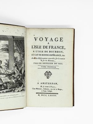
Alden-Landis 536/22; Sabin 106331; Adams Z-154 ; Röhricht p.183 ; VD16 Z-449 ; Gay 149 ; Harrisse, Bibliotheca Americana Vetustissima, n°170 & de Diesbach, Bibliothèque Jean Bonna, le XVIe siècle, 368 (for the 1532 edition).
First edition under this new title which had previously been published in 1532 in Strassburg by Petrus Opilonius, under the title Syria, ad Ptolomaici operis rationem…
Seven of the maps depict Syria, Phoenicia, Samaria, Judaea, the Marmara region, Egypt and Palestine. The last one is a very important map of Scandinavia showing Finland here for the first time as a separate Peninsula.
“Perhaps the most important and scholarly sixteenth-century for the Holy Land was Jacob Ziegler (born ca. 1470, died in 1549). In 1532 he published his researches into biblical geography in his book Quae intus continentur. This appeared in a second edition in 1536, together with Terrae Sanctae altera descriptio… which gives biblical references for Ziegler’s place-names. Ziegler notes that for his sources he drew on the sacred history from Moses to the Maccabees, from Hieronymus, Strabo, Josephus, Pliny, Ptolemaeus and Antoninus. He also used the accounts of Burchard of Mt Zion, and Bernard von Breidenbach. Ziegler’s maps took their form and orientation from Ptolemy’s Quarta Asiae Tabula, and were orientated with north at the top. Degrees of latitude were printed on the left and right margins, and of longitude along the top and bottom, of the maps. Ziegler’s text gives coordinates for many of the biblical place-names” (On Stone and Scroll : Essays in Honor of Graham Ivor Davies, p. 172).
“The first author of maps of the Holy Land associated with the Reformation was the geographer Jacob Ziegler, a fairly restless personality. His studies began with Celtis in Ingolstadt (from 1491) and Vienna (from 1504). After two decades of wandering, he lived from 1531 in the reformed Strasbourg. In 1532, an anthology of his work appeared with writings on the geography of the Near East and northern Europe. This work was the only printed part of the great project of Ziegler’s life: a never completed “new Ptolemy.” The anthology included a series of seven maps showing the Holy Land and its parts. Their mathematical construction was based on Ptolemy, the topography on various classical and biblical sources. Distinctive features are the dogleg shape of the Dead Sea and rhumb lines indicating directions and distances from Palestine to cities in Europe and the Middle East.
However, Ziegler broke with the Reformation and lived as a professor of Old Testament theology in Vienna (1541– 43) and as a private scholar at the Episcopal court in Passau. Ziegler served as a source for some important wall maps during the next decades. The first was the Amplissima Terrae Sanctae descriptio ad vtrivsqve testamenti intelligentiam by Gerardus Mercator. In this 1537 wall map, the semi-Protestant Mercator accumulated Ziegler’s separate maps into one general map, slightly revised based on other sources. The wall map Descriptio Palestinæ nova by Reformed preacher and theology professor Wolfgang Wissenburg of Basel, a pupil of Glareanus, appeared in Strasbourg in 1538. This work assembled the separate maps by Ziegler, probably with the author’s knowledge and permission as a personal friend. An innovative element is the inclusion of many roads. Other distinctive features are the adjusted shape of the Dead Sea and the depiction of the Exodus in a broad band of successive camp scenes. The map’s dedication to Thomas Cranmer, archbishop of Canterbury and promoter of the new religious thinking in England, is an illustrative example of the close links between European reformers” (Peter Meurer, Cartography in the German Lands, 1450-1650, State Contexts and Renaissance Mapping, p. 1218).
This book is also important as being an early impression with an account of the New World, mentioning Cabot’s and Peter Martyr’s travels in the chapter on Greenland, alsdo called here Schondia.
Provenance : Château Dampierre, collection of the Ducs de Luynes (book-plate).