BMC V,161; Goff S-794; HC 15087*; Pr 4042.
First Venetian edition of Strabo’s Geography, the first unified treatise of geographical knowledge printed by the Venetian proto-typographer Vindelino de Spira.
Second edition based on the first Latin edition by Sweynheym and Pannartz, published in 1469. The text was translated from Greek into Latin by Guarinus Veronensis and Gregorius Tiphernas.
Strabo’s only surviving work, the Geography constituted the first attempt at a unified treatise of geographical knowledge. The work surveys the topography, history, and political characteristics of the principal regions of the Roman world. In bringing up to date the work of the first systematic geographer, Erastothenes (3rd century B.C.), whose writings are now lost, Strabo relied on other Greek sources but paid scant attention to recent Roman records.
His treatise brought together philosophy, political theory, geology, mathematics, and history. Following Erastothenes, he presented the world as a single ocean-girt landmass on the northern half of a sphere, immobile within a revolving universe.
He “devoted much attention to the forces that had formed the oikoumene [inhabited land]… Strabo suggested that some islands were torn from the mainland by earthquakes, while others (including Sicily) were thrown up by volcanic action. He gave examples of both local and widespread land subsidence and alluded to the uprising of seabeds with consequent flooding; he further described the silting of rivers that form alluvial plains and deltas” (DSB).
De situ orbis describes the inhabited world as Strabo knew it—the lands that are known today as Europe, the Near East, the Middle East, Turkey, the Caucasus, India, and North Africa. His descriptions of the Mediterranean regions, Asia Minor and Egypt are excellent, while those of Gaul, Britain and Greece are weaker. « These are: the whole of Arabia Felix (which is bounded by the whole extent of the Arabian Gulf and by the Persian Gulf), and all the country occupied by the Tent-Dwellers and by the Sheikh-governed tribes (which reaches to the Euphrates and Syria). Then come the peoples who live on the other side of the Arabian Gulf and as far as the Nile, namely, the Ethiopians and the Arabs, and the Egyptians who live next to them, and the Syrians, and the Cilicians (including the so-called “Trachiotae”), and finally the Pamphylians. » (Book II).
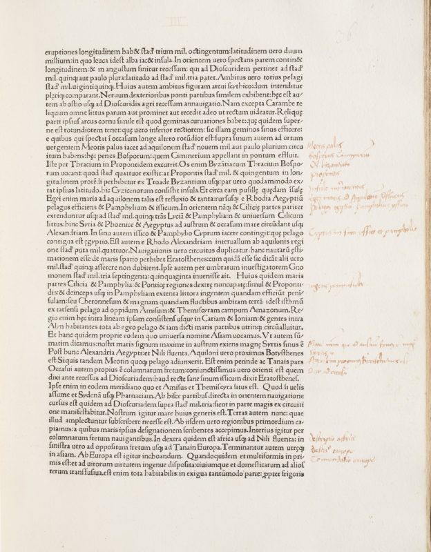
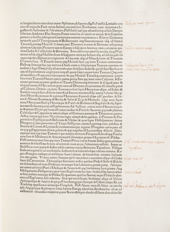
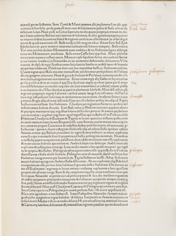
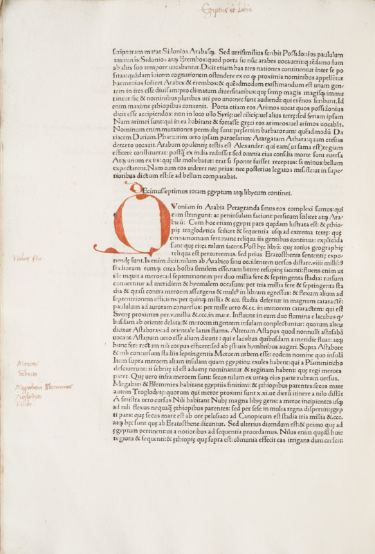
An extremely wide-margined copy. Large and small initials supplied in red. Contemporary lemmata in red ink and contemporary annotations in the margins throughout the whole volume.
A splendidly printed example from the first Venetian press, in a contemporary binding (the back cover of which has been replaced by a similar piece of wood at some time in the past.) Sold by H.P. Kraus, his catalogue 173, lot 56.